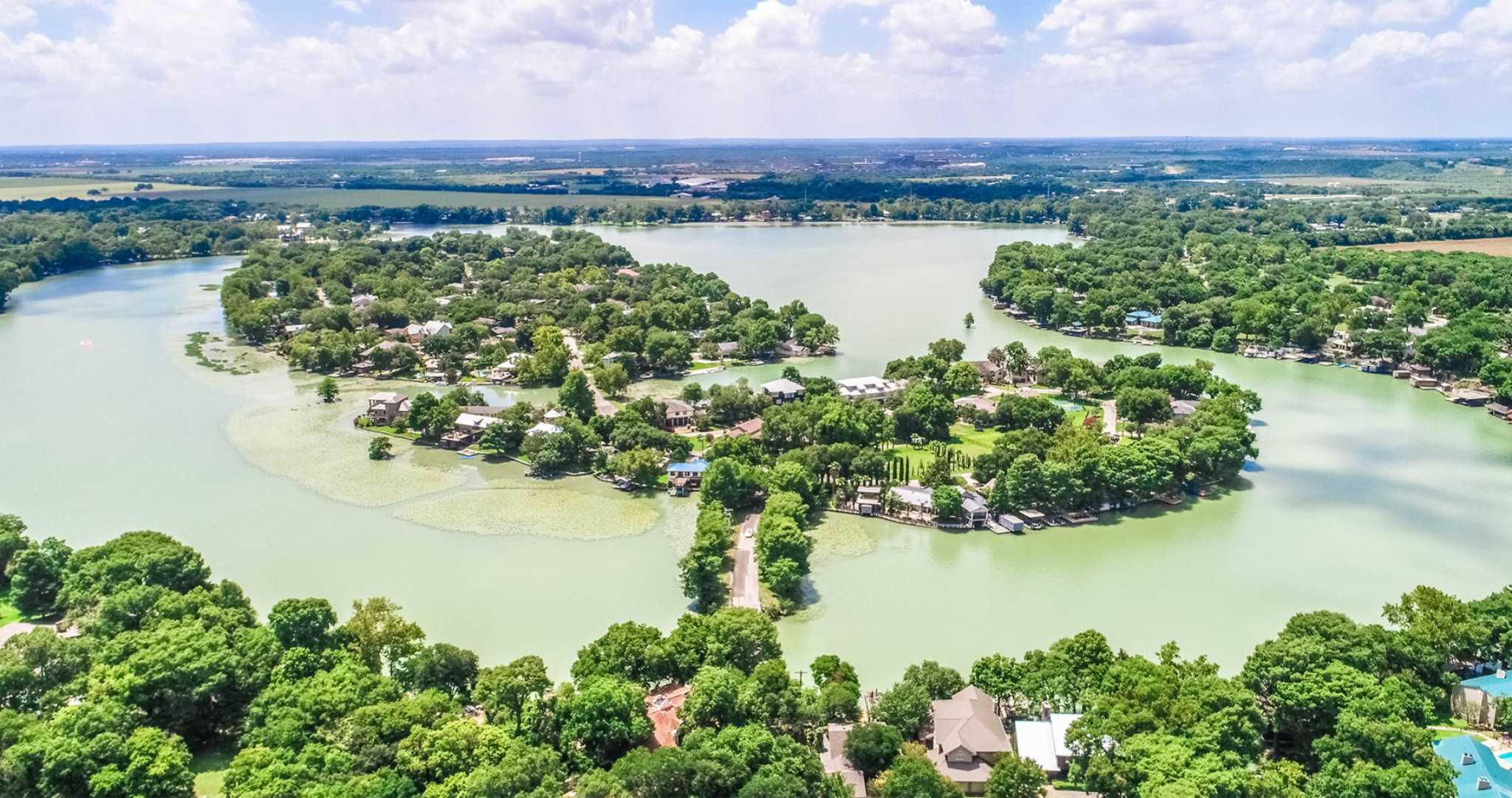
Lake McQueeney Water Control & Improvement District No. 1 is a special purpose district on the Guadalupe River located 5 miles west of Seguin in Guadalupe County, Texas, United States. It's boundaries are shown in orange in the map below.
To zoom in or out on the map, use the scroll button on your mouse or use the +/- buttons on the bottom left of the map. To switch the base map to satellite, click the menu button on the top left of the map, then click the map icon in the bottom left of the pop up menu
